Drone & Thermal Roof Inspection in McAllen, TX
Inspecting a Big McAllen Roof From the Air
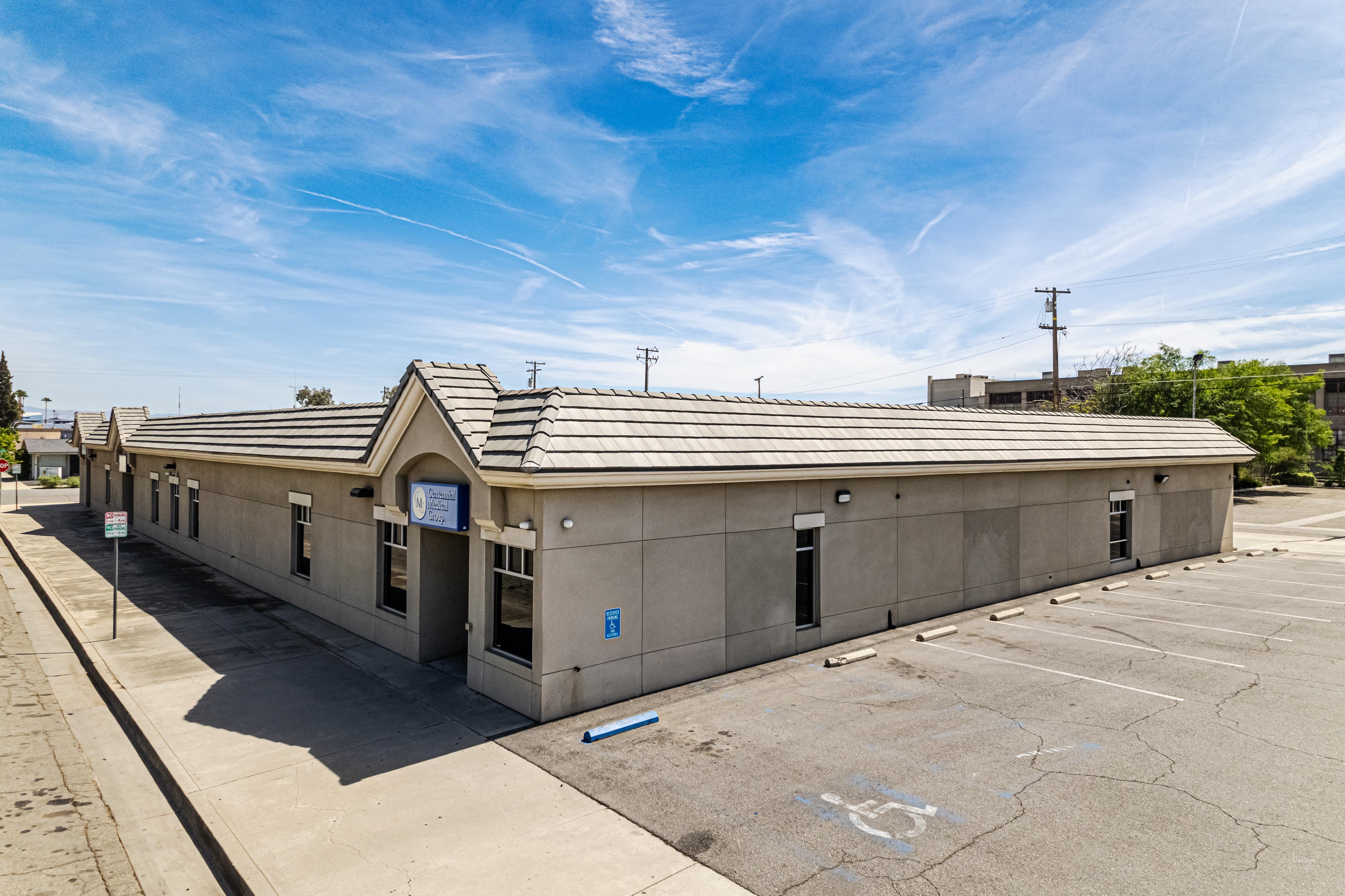
You cannot really assess an 80,000-square-foot distribution roof by climbing up and strolling around for an afternoon. You miss the dead center of the field, you grind grit into the membrane at every step, and you put a body on a surface whose condition you have not yet established. We fly these roofs instead. A drone carrying a high-resolution optical camera and a calibrated radiometric thermal sensor sweeps the whole field at a fixed altitude, captures every drain sump, lap seam, curb, and edge in a tidy grid, and produces a record you can actually put in front of an insurance adjuster or a facilities board. For the wide low-slope roofs that define commercial McAllen, from the retail centers along Expressway 83 to the produce-handling and logistics buildings feeding the Pharr-Reynosa and Anzalduas international crossings, flying the roof is just the faster and more complete way to learn what is happening up there.
Why Infrared Finds Water the Eye Misses
The thermal piece is what makes this worth doing in the Valley, and the reason is plain physics. Wet insulation soaks up the day's heat and lets go of it more slowly than the dry insulation around it. After the sun drops and the roof starts radiating that stored heat back toward the night sky, the saturated zones stay warmer and light up on an infrared image, even while the membrane on top of them still looks flawless to anyone standing on it. On a humid Rio Grande Valley roof, moisture can sit trapped in the insulation layer for years, quietly rotting the deck and bleeding away the R-value, with nothing showing on the surface until a blister swells or a soft spot finally underfoot. A thermal pass flown at the right time of evening draws the exact outline of that wet insulation, so we know whether you are looking at a few zones to cut and patch or a roof that has gone too far to rescue.
Flying Legally and Safely Around McAllen
Commercial drone work is regulated airspace activity, and we run it that way. Every flight goes up under FAA Part 107 with a certificated remote pilot in command. The airspace overhead genuinely matters here: McAllen International Airport sits right inside the metro, and a building anywhere near its approach and departure corridors can fall within controlled airspace that requires authorization before a drone leaves the ground. We pull the airspace for each site, file for clearance through the LAANC system where it is needed, and keep the aircraft inside visual line of sight for the whole flight. We brief ground safety so no one is standing under the aircraft, and we plan around the Valley wind, because a gusty South Texas afternoon is not the moment to put a drone over an occupied building.
Documentation an Adjuster Can Actually Use
After a hailstorm or a high-wind event, the line between a paid claim and a drawn-out fight is usually the quality of the documentation. We produce GPS-tagged imagery that pins every finding to a precise spot on the roof: hail bruising and its strike density, displaced membrane and lifted edge metal from wind, and damage to rooftop units and equipment. The package is assembled to drop straight into a commercial carrier's review, and because each photo carries its own coordinates, an adjuster reviewing it from a desk can trust exactly where it was taken. On a contested loss, that coordinate-anchored record is much harder to wave away than a handful of unlabeled phone snapshots taken from the edge of the roof.
Foot Traffic Is the Quiet Killer of Low-Slope Roofs
There is a real reason we lead with not walking the roof. Every trip across a single-ply membrane in the Valley heat is wear the roof did not need. Boots drive grit down into the sheet, scuff the surface around the spots where people naturally step on and off ladders, and over a few inspection cycles they thin out the very areas an inspector is supposed to be protecting. On a hot afternoon the membrane goes soft and is even more vulnerable to a heavy step or a dropped tool. A drone takes that whole category of risk off the table. We capture the entire field, including the broad center spans of a warehouse roof that a walking inspector tends to shortchange because nothing looks wrong from the perimeter, without leaving a single footprint behind. For owners of the large logistics and manufacturing roofs near the trade bridges, that alone justifies the change in method.
It also changes what a routine inspection can realistically cover. A walking survey on a sprawling roof is a budget decision, because it burns real labor hours, so it tends to get pushed off. A flight covers the same ground in a fraction of the time, which means the roof can be checked more often, slow trends get caught between major storms, and a small problem near a drain or a curb gets flagged while it is still a sealant fix rather than a wet-insulation tearoff.
Honest Numbers Before You Reroof
Aerial capture is also how we keep a reroof estimate truthful. The flight gives us accurate roof-area measurements, an exact count and location of every penetration and curb, and a documented record of the existing conditions before a single line of the specification gets written. When the drawings reflect what is genuinely on the roof, the project runs with far fewer surprises, fewer mid-job change orders, and fewer arguments over scope once crews are mobilized. On multi-building sites, like a school district with several campuses or a logistics tenant running several roofs across one yard, that consistency pays back over and over.
That imagery then becomes a baseline you hold onto. We archive each flight, so the next inspection is a direct before-and-after: a seam that has started to open, a ponding area that is creeping outward, a flashing that has lifted since last year. Instead of leaning on memory or a shoebox of loose photos, you and your maintenance team end up with a dated visual history of the roof that supports a real capital plan and tells you, with evidence, when the asset is actually nearing the end of its service life.
Routine condition flights in McAllen, Edinburg, Mission, and Pharr can usually be scheduled within a few business days, weather permitting. Post-storm inspections meant to open an insurance claim move to the front of the line and often go up within a day or two of a significant event, as soon as the airspace clearance and the wind both cooperate. Send us the building location and what prompted the call, and we will confirm the turnaround and the airspace picture for your specific site.
What we document
For Drone & Thermal Roof Inspection, we record field photos, roof observations, moisture concerns, access assumptions, excluded conditions, and the owner decision that moves the work forward.
Next step
Call 956-302-5444 when Drone & Thermal Roof Inspection needs a roof walk, repair path, budget opinion, or written scope for a McAllen commercial property.